Johns Valley
1953
2003
Description:
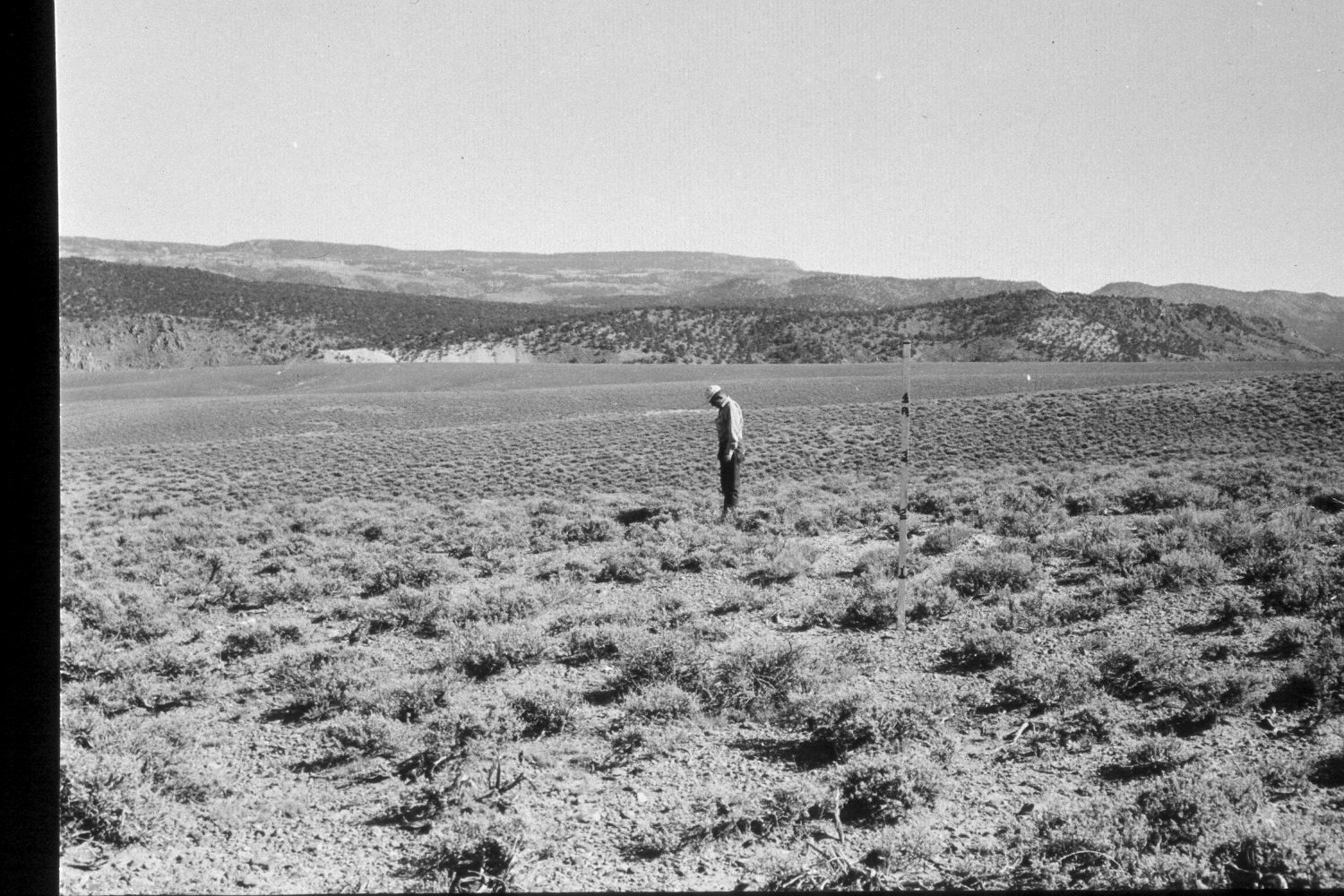
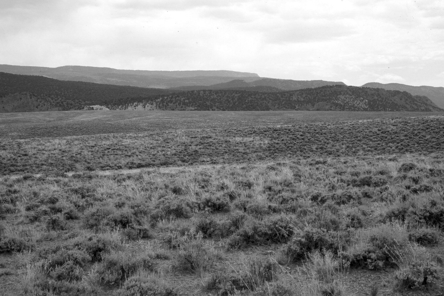
Plate 182X. Johns Valley 1953 - 2003 Viewed southeast over the northern end of Johns Valley. The East Fork of the Sevier River is at the base of far hillside, while Escalante Mountain (10,748 ft.) is on the skyline. The camera station is 11.5 miles north of Widtsoe Junction and 100 yards south of mile marker 40 on Utah Highway 22. BLM lands are in the foreground, while the more distant areas are administered by the Dixie National Forest. The original photograph was taken to document an extensive stand of black sagebrush that remains largely unchanged after 50 years. Grass cover, however, has increased considerably despite the continued drought in southern Utah. The most common species are Indian rice-grass (Oryzopsis hymenoides) and needle and thread (Stipa comata). Pinyon and juniper have increased on the distant hillside.
Photo Information:
U.S. Forest Service photograph (477072) taken by Plummer on August 16, 1953; retake by Charles E. Kay on July 14, 2003 - - Photo No. 5186-12. Original photograph held by Utah Historical Society, Reed W. Bailey Collection (Box 15), Salt Lake City, UT.
Vegetative Community:
Sagebrush, Pinyon, Juniper
Location:
South West: Section 26, Range 2 West, Township 32 South; UTM 413900E, 4206000N; elevation 7,100 ft.