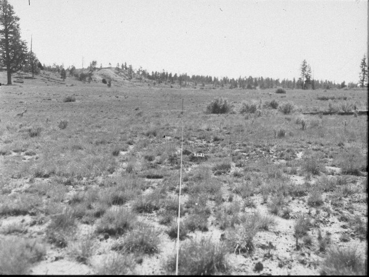
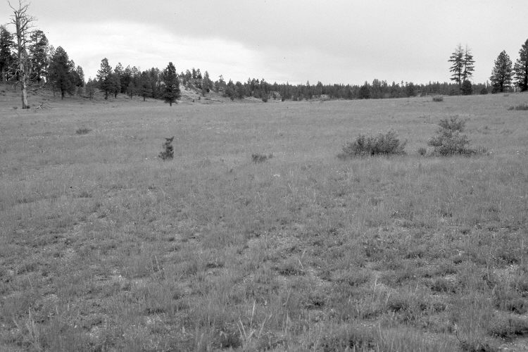
Harris Flat
1963
2005
Description:
Plate 981X. Harris Flat 1963 – 2005 Viewed east-southeast along the Parker Three-Step Transect on Harris Flat. The large ponderosa pine on the left has died, while in the distance, ponderosa pine has increased. The taller shrubs are currants. The most common forage plant is crested wheatgrass, but needle and thread is also present, as is snakeweed.
Photo Information:
U.S. Forest Service photograph (unnumbered) taken by Robert Easton on September 24, 1963; retake by Charles E. Kay on July 31, 2005 - - Photo No. 5495-27. Original photographs, negatives, and narrative reports held in the range files on the Cedar City Ranger District, Dixie National Forest, Cedar City, UT.
Vegetative Community:
Conifer, Mountain Brush, Dry Meadow
Location:
South West: Section 24, Range 7 West, Township 38 South; UTM 360290 E, 4150500 N; elevation 7,800 ft.