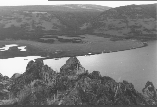
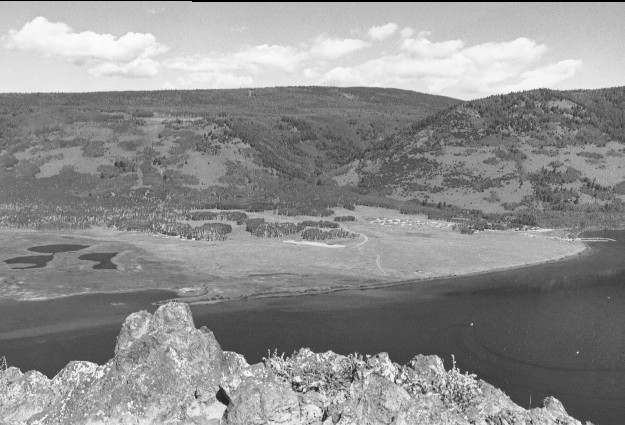
Fishlake
1965
1999
Description:
Plate 93. FISHLAKE: 1965 - 1999 LOCATION: NOTE: This view shows Doctor Creek exiting Fishlake Hightop Plateau. By 1999 aspen (Populus tremuloides) has continued to deteriorate along Utah Highway 25. Random camping had been eliminated along the lake shore. Part of the cliff face in the foreground had fallen during the time interval between the two photos.
Photo Information:
1965 photo was taken by the U.S. Forest Service; 1999 photo is Kay #4467-30, taken on Aug. 12. Forest Service photo held by the Loa Ranger District, Fishlake National Forest, Loa, UT
Vegetative Community:
Sagebrush, Conifer, Riparian, Aspen
Location:
South Central: Mytoge Mountain, Fishlake National Forest, Loa Ranger District, T26S, R2E, Sect. 29, UTM 4263400 N, 436800 E; elevation 9,600 ft., viewed to west.
January 2018