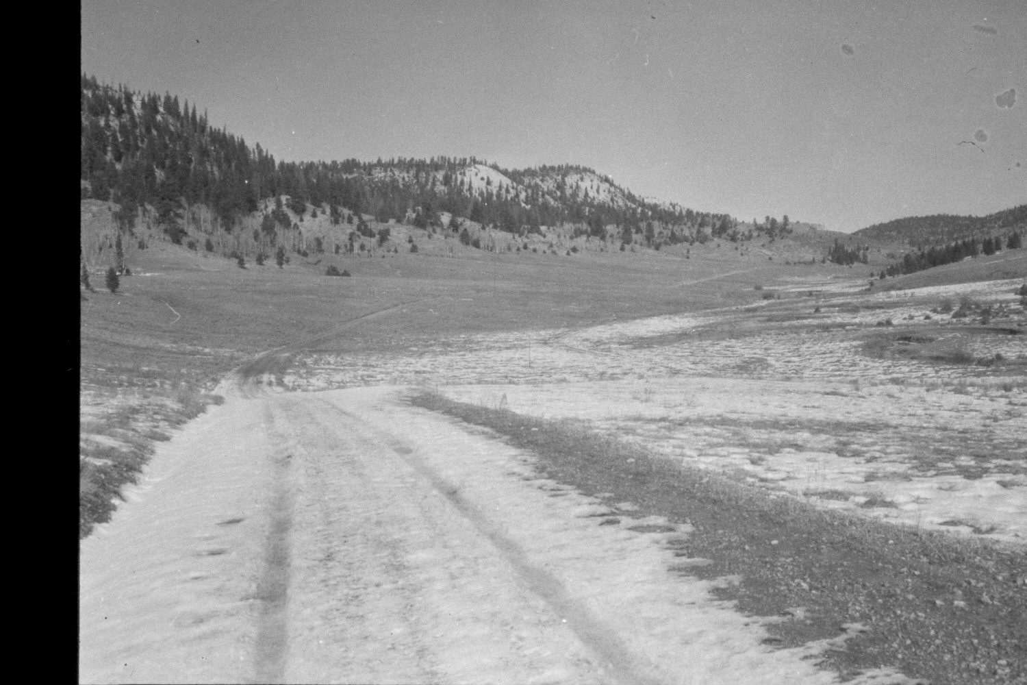
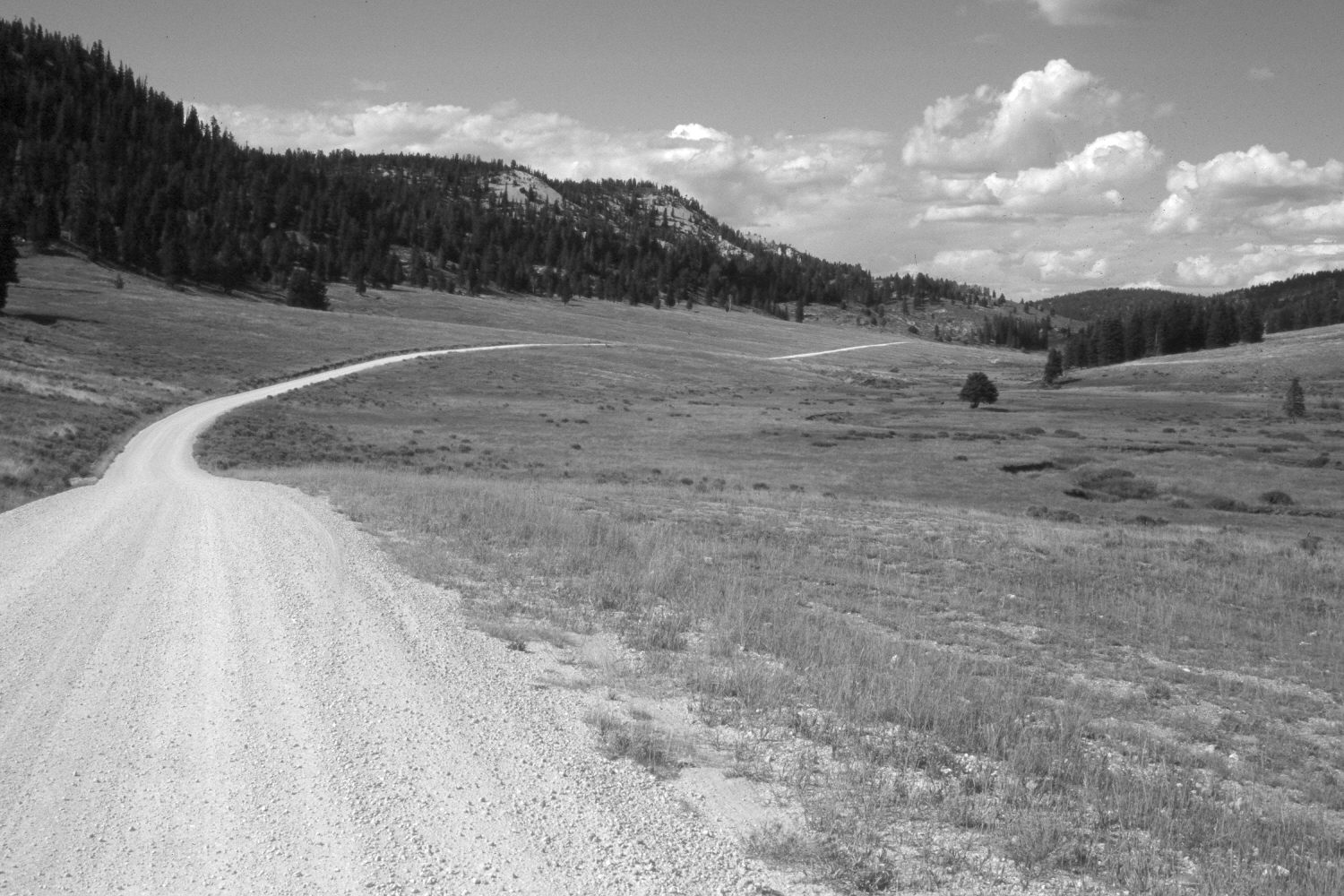
East Fork Of The Sevier River
1959
2003
Description:
Plate 224X. East Fork of the Sevier River 1959 - 2003 Viewed north down the East Fork of the Sevier River below Dairy Hollow and Crawford Creek. Aspen has declined, while spruce and ponderosa pine have increased. Willows appear to have declined along the East Fork (photo right-center). Much of the area has been contour-trenched and reseeded with smooth brome and intermediate wheatgrass. The shrubs are mostly rubber rabbitbrush on the uplands, with shrubby cinquefoil and currant along the stream. Shown is the East Fork Road (USFS 087). Retakes from this camera station were also made by the Forest Service in 1988 and 2000.
Photo Information:
U.S. Forest Service photograph (unnumbered) taken in the spring of 1959; retake by Charles E. Kay on August 3, 2003 - - Photo No. 5203-9. Original photograph held in the range files on the Panguitch Ranger District, Dixie National Forest, Panguitch, UT.
Vegetative Community:
Aspen, Conifer, Riparian, Dry Meadow
Location:
South West: Section 26, Range 4 ½ West, Township 38 South; UTM 384550E, 4148100N; elevation 8,160 ft.