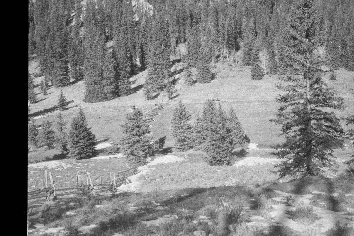
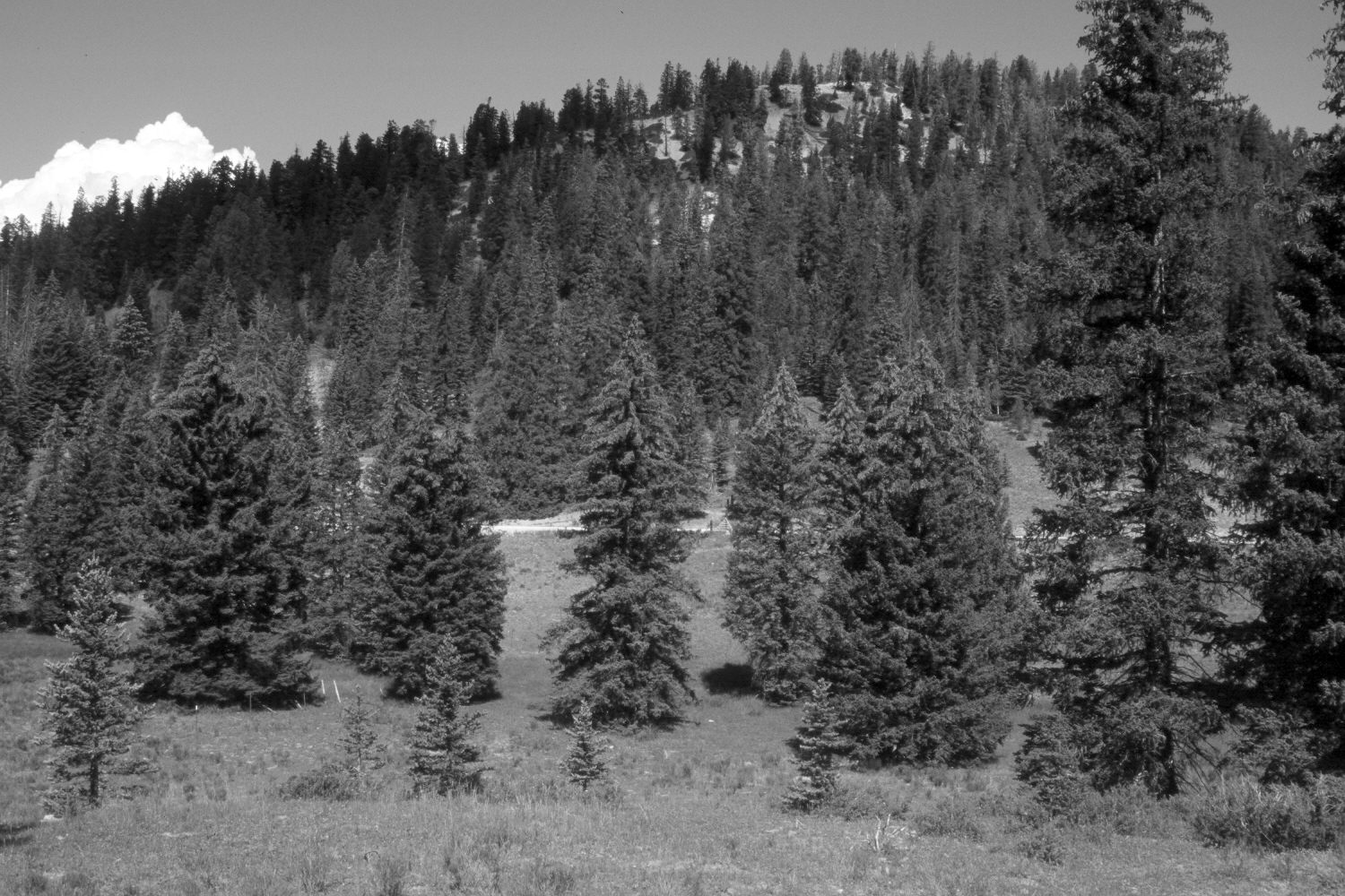
East Fork Of The Sevier River
1959
2003
Description:
Plate 219X. East Fork of the Sevier River 1959 - 2003 Viewed northwest across the East Fork of the Sevier River approximately 300 yards above Mill Creek. The log fence in the original image has been realigned and replaced with one made of barbed wire. The cattle guard, however, has not been moved. Spruce has increased. The shrubs in the foreground are rubber rabbitbrush and shrubby cinquefoil (Potentilla fruticosa). The area was actively being grazed by cattle in 2003. Retakes from this camera station were also made by the Forest Service in 1988 and 2000.
Photo Information:
U.S. Forest Service photograph (unnumbered) taken in 1959; retake by Charles E. Kay on August 3, 2003 - - Photo No. 5198-33A. Original photograph held in the range files on the Panguitch Ranger District, Dixie National Forest, Panguitch, UT.
Vegetative Community:
Conifer, Mountain Brush
Location:
South West: Section 10, Range 4 ½ West, Township 39 South; UTM 381000E, 4143600N; elevation 8,350 ft.