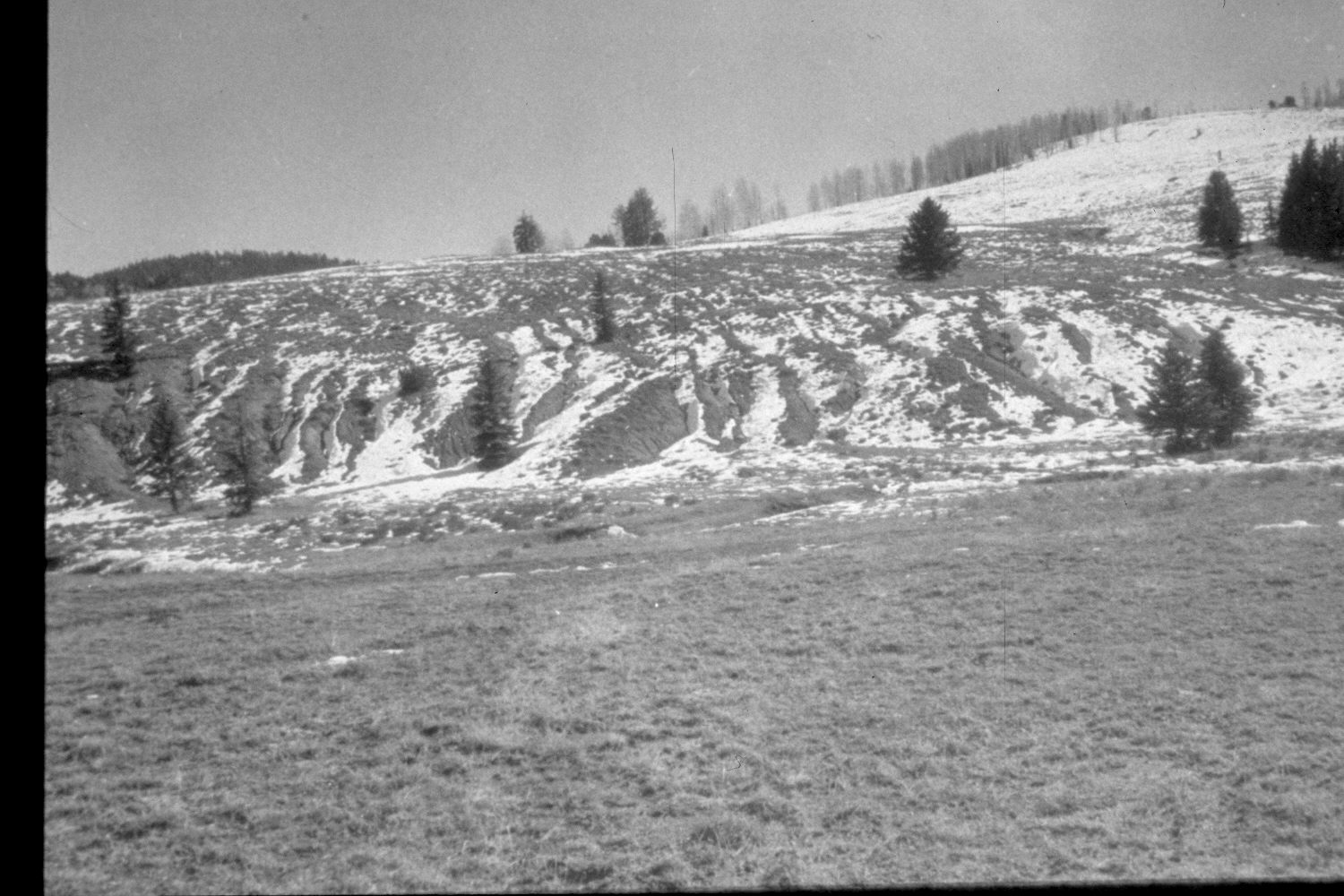
East Fork Of The Sevier River
1959
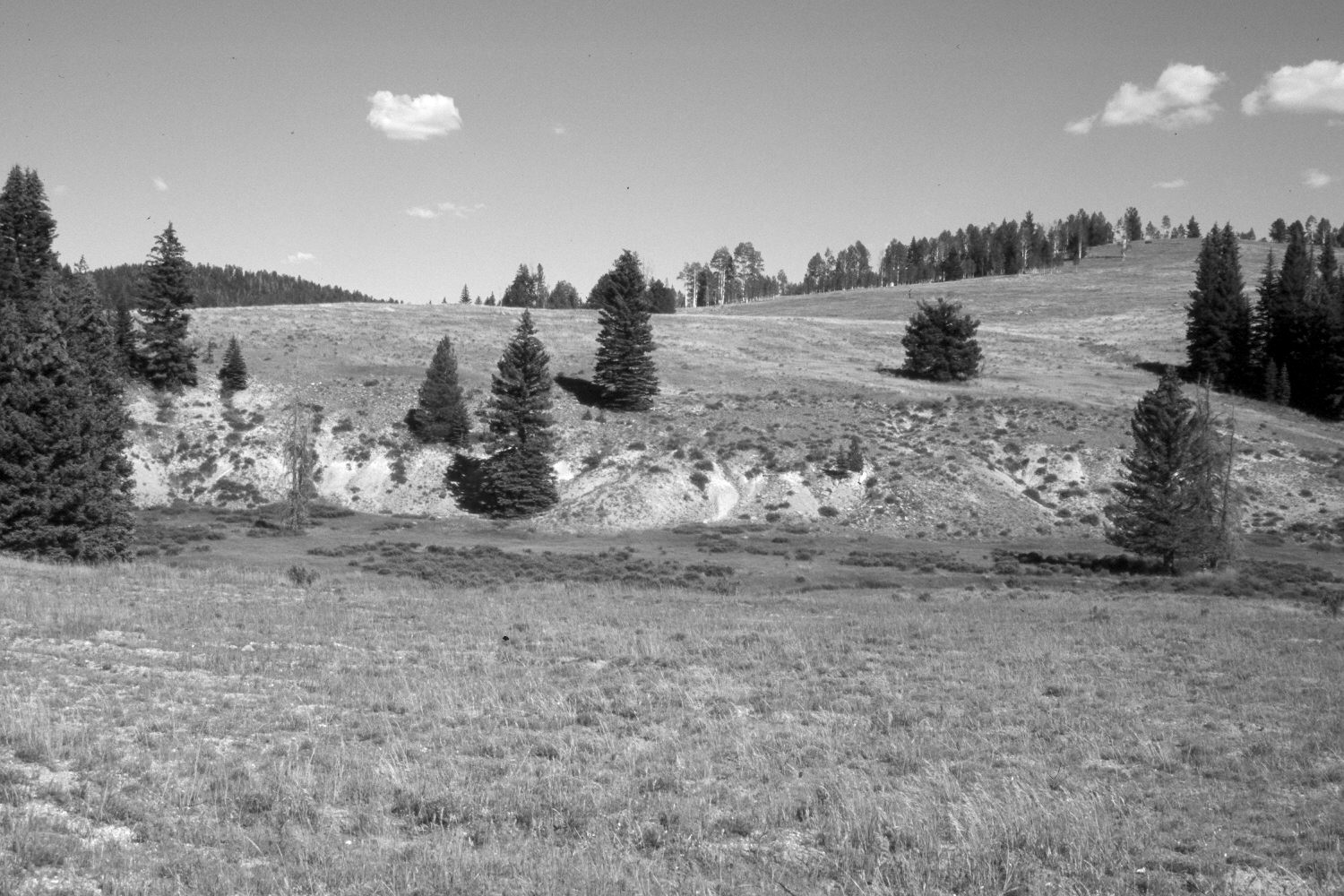
2003
Description:
Plate 247X. East Fork of the Sevier River 1959 - 2003 Viewed southeast across the East Fork of the Sevier River 700 yards above its confluence with Podunk Creek. The shrubs along the creek are heavily browsed willows and lightly browsed shrubby cinquefoil. Spruce has increased, while aspen has declined. The area between the camera and the stream was contour-trenched and reseeded to control erosion. The planted grasses are mostly smooth brome and intermediate wheatgrass.
Photo Information:
Retakes were also made from the same camera station by the Forest Service in 1988 and 2000. U.S. Forest Service photograph (unnumbered) taken in 1959; retake by Charles E. Kay on August 4, 2003 - - Photo No. 5210-8. Original photograph held in the range files on the Panguitch Range District, Dixie National Forest, Panguitch, UT.
Vegetative Community:
Riparian, Conifer, Aspen, Dry Meadow
Location:
South West: Section 23, Range 4 ½ West, Township 38 South; UTM 385600E, 4149900N; elevation 8,130 ft.