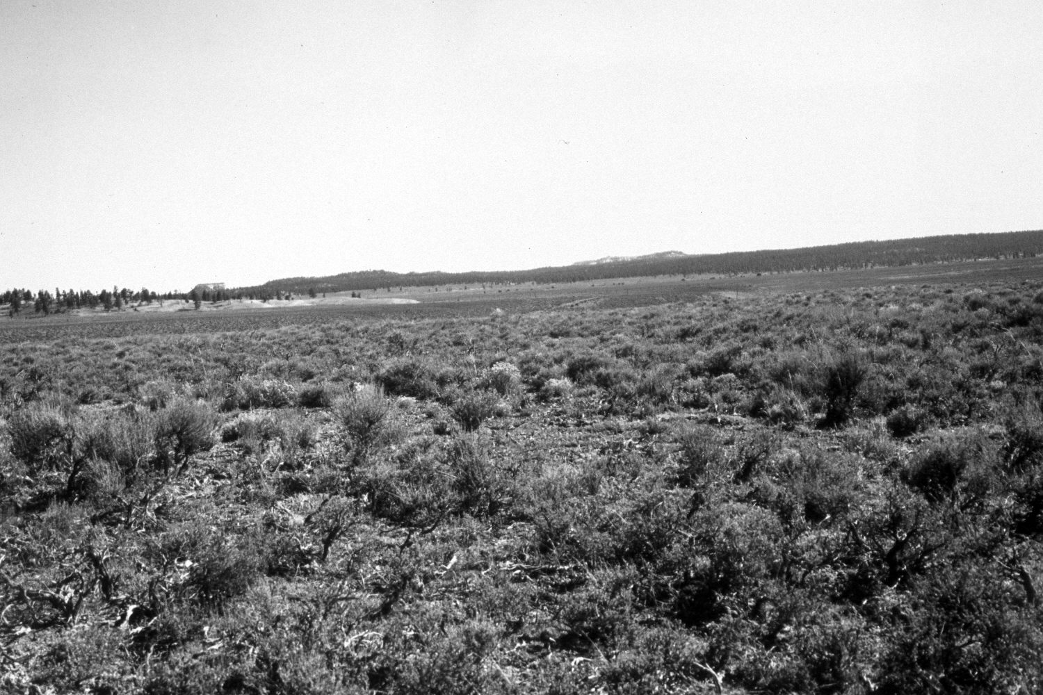
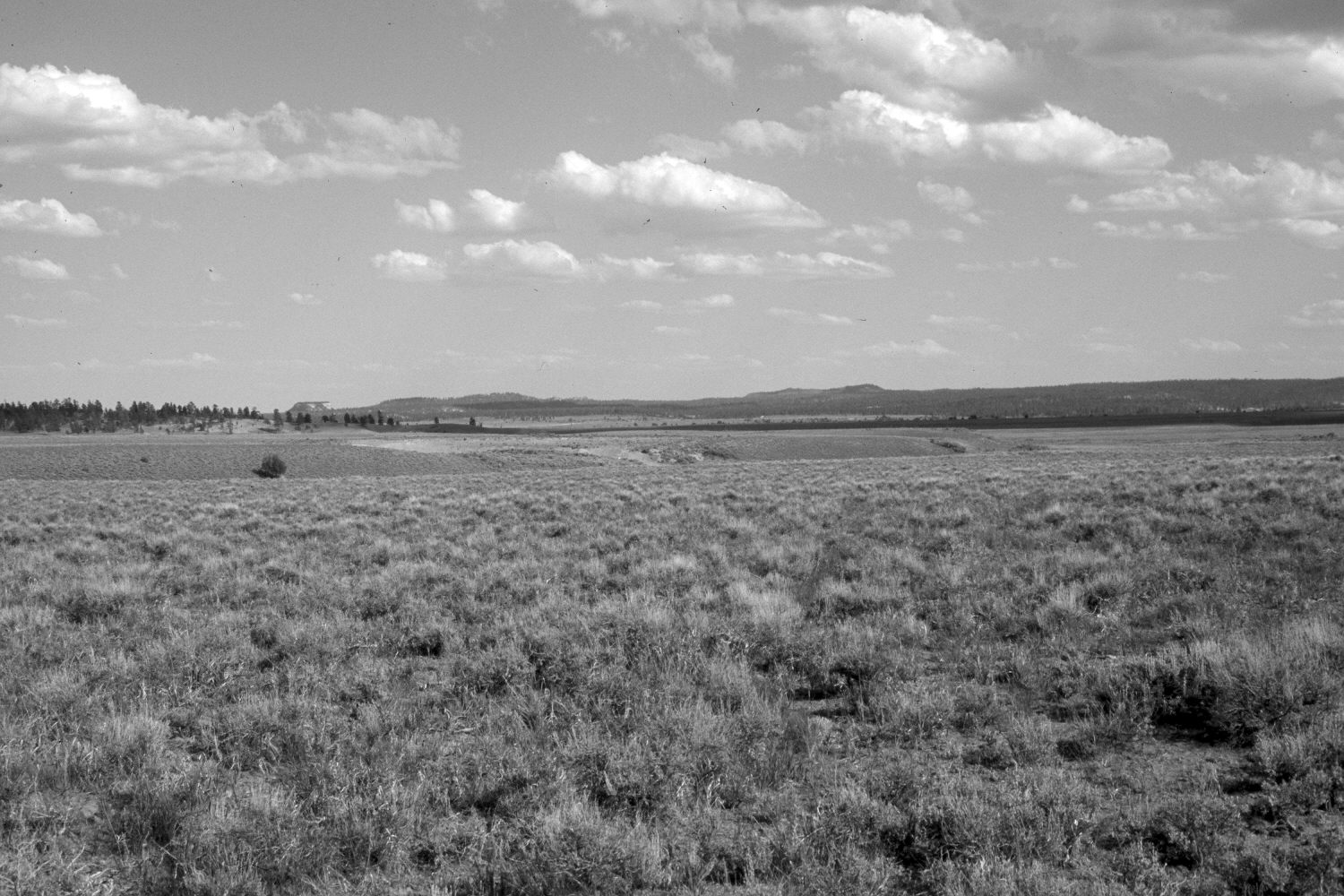
Coyote Hollow
1939
2003
Description:
Plate 126X. Coyote Hollow 1939-2003 Viewed southeast across Coyote Hollow in upper Emery Valley. Ponderosa pine, pinyon, and juniper appear to have increased in the distance. Black sage (Artemisia nova) in the foreground, though, appears unchanged despite yearly cattle grazing. Note the new barrow pit in the unnamed tributary to Coyote Hollow (photo-center).
Photo Information:
U.S. Geological Survey photograph taken by H.E. Gregory (No. 961) in 1939; retake by Charles E. Kay on June 22, 2003 - - Photo No. 5164-9. Original photograph held by U.S. Geological Survey Photographic Library, Denver, CO.
Vegetative Community:
Conifer, Pinyon, Juniper, Sagebrush
Location:
South West: Section 33, Range 4 West, Township 35 South; UTM 390900E, 4175000 N; elevation 7,800 ft.
January 2018