City Creek Peak
1924
2001
Description:
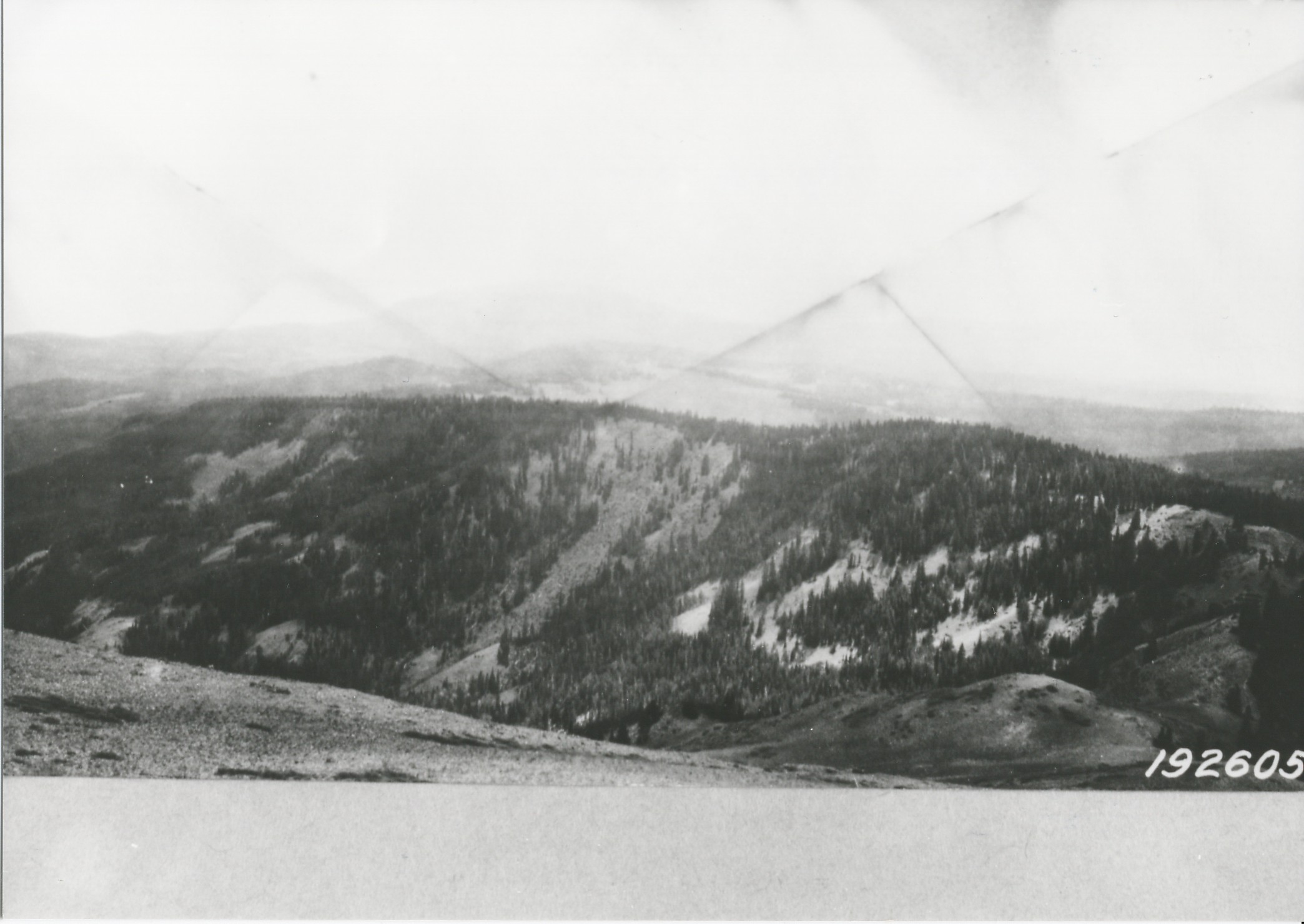
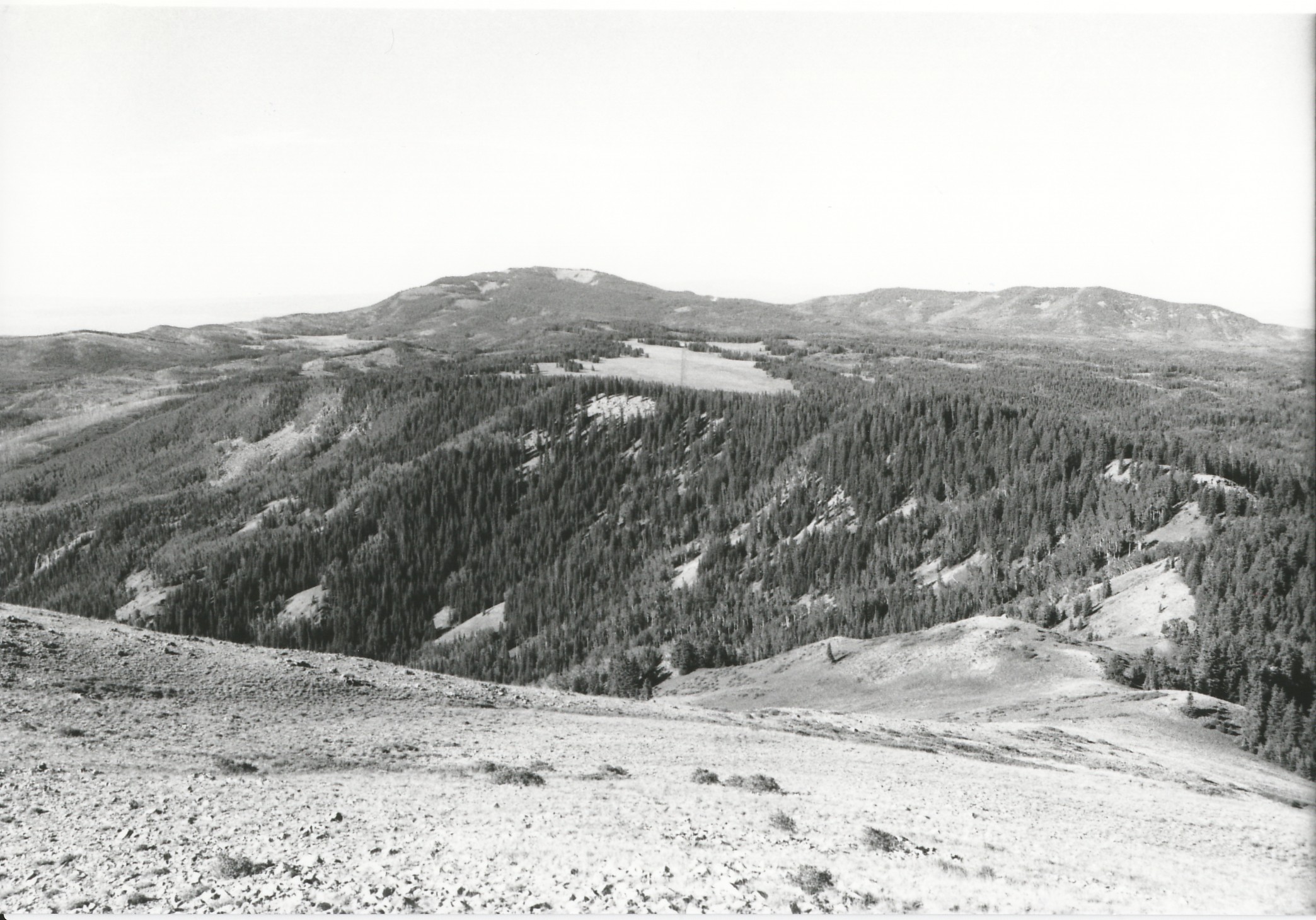
Plate 312. CITY CREEK PEAK TUSHER MOUNTAINS 1924-2001 Viewed south from City Creek Peak over the head of City Creek. The large opening near the center of the photos is Big Flat (10,200 ft) with Circleville Mountain (left - -11,331 ft) and Birch Creek Mountain (right - - 10,733 ft) on the skyline. Also visible below and to the left of Circleville Mountain is Dry Flat (a.k.a. Betenson Flat). Conifers have increased in height, density, and distribution. Aspen has also increased in height, but has otherwise declined due to conifer encroachment. Aspen has not regenerated due to a lack of fire and excessive ungulate browsing. The 1996 Pole Creek fire burned the area to the left and below Betenson Flat. Several logging areas are also visible in the retake, as is the Forest Service road across Big Flat.
Photo Information:
U.S. Forest Service photo 192605 taken in 1924; retake by Charles E. Kay on August 7, 2001 - - Photo No. 4864-4; Original photo (2310-Fishlake-25) held by the Forest Service Regional Office Photographic Collection housed at Weber State University, Ogden, UT.
Vegetative Community:
Aspen, Conifer, Dry Meadow
Location:
South Central: Section 5, Range 4 W, Township 29 S; UTM 383000 E, 4241050 N; elevation 11,161 ft.