City Creek Peak
1924
2001
Description:
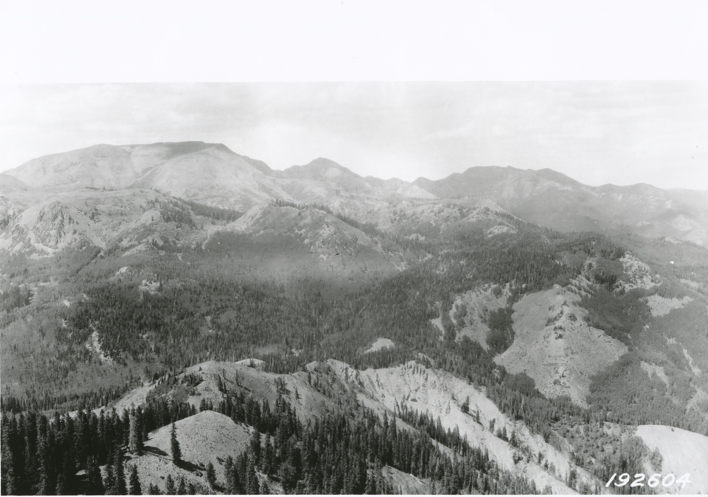
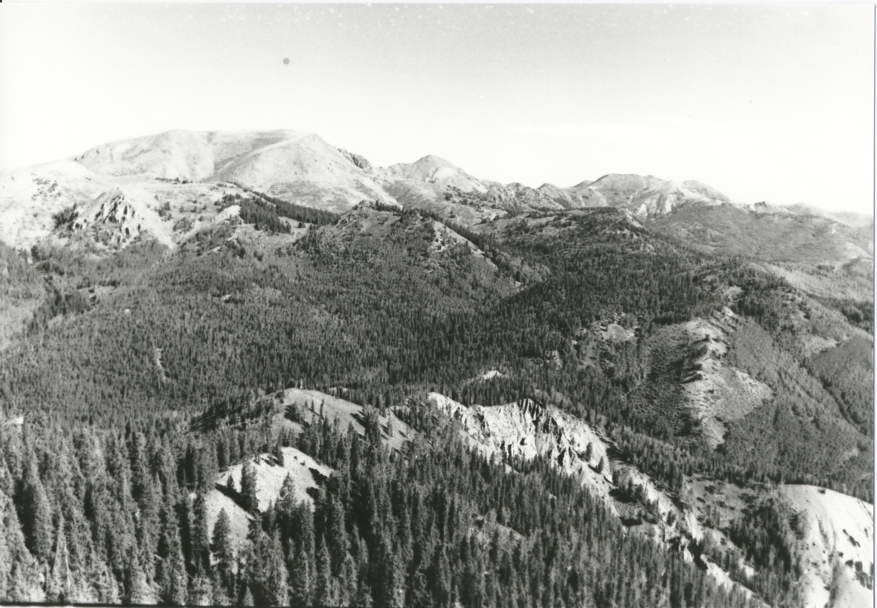
Plate 311. CITY CREEK PEAK TUSHER MOUNTAINS 1924-2001 Viewed north from City Creek Peak to Mount Holly (11,985 ft). Tenmile and Cottonwood Creeks drain to the right, while Lake Stream Creek drains to the left. Mount Brigham (11,757 ft) is on the right skyline. Conifers have increased in density, distribution, and height. Aspen has also increased in height, but has been, and is being, replaced by conifers. Aspen has not regenerated due to a lack of fire and excessive herbivory by deer, elk, and livestock, primarily cattle. Note the new contour trenches at the head of Lake Stream Creek below Mount Holly (see Plates 231 to 237).
Photo Information:
U.S. Forest Service photo 192604 taken in 1924; retake by Charles E. Kay on August 7, 2001 - - Photo No. 4864-19; Original photo held by the National Archives (RG-95-G-192604) and the Forest Service Regional Office Photographic Collection (2210-Fishlake-16) housed at Weber State University, Ogden, UT.
Vegetative Community:
Aspen, Conifer
Location:
South Central: Section 5, Range 4 W, Township 29 S; UTM 382950 E, 4241250 N; elevation 11,000 ft.