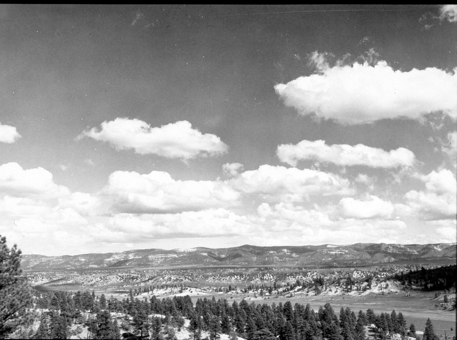
Castle Creek
1940
2004
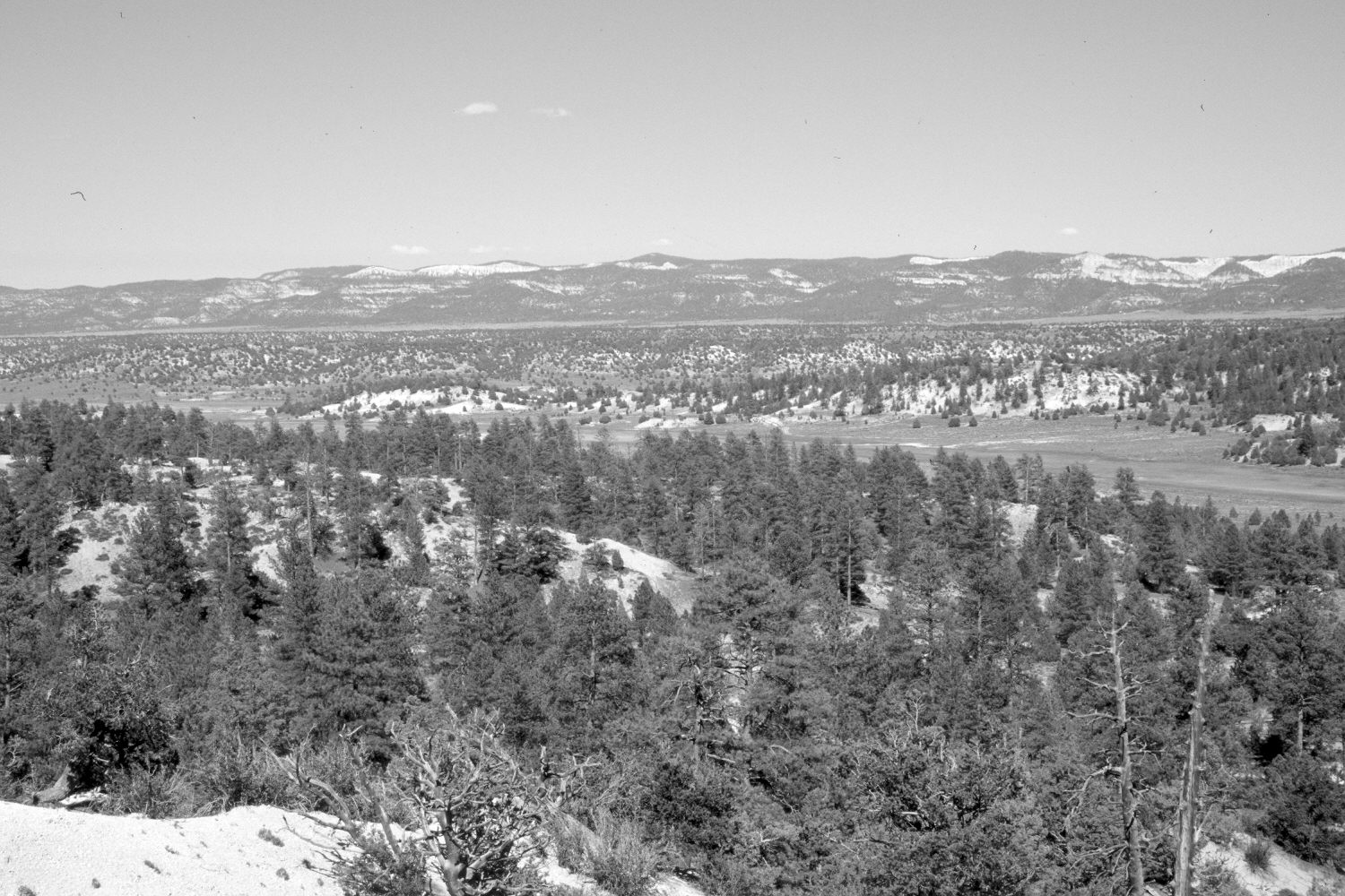
Description:
Plate 492X. Castle Creek 1940 – 2004 Viewed east-northeast from Castle Rock down Castle Creek to the Sevier River. The Paunsaugunt Plateau is in the distance. Conifers now block the original camera station, so the retake was made from the nearest open area, which accounts for the different foreground. Pinyon, juniper, and ponderosa pine have increased, the latter despite repeated logging.
Photo Information:
Original photograph taken by H.E. Gregory (No. 1010) in 1940; retake by Charles E. Kay on June 8, 2004 - - Photo No. 5337-31. Original photograph held in the U.S. Geological Survey Photograph Library, Denver, CO.
Vegetative Community:
Conifer, Pinyon, Juniper
Location:
South West: Section 3, Range 6 West, Township 38 South; UTM 365900 E, 4155900 N; elevation 7,500 ft.
January 2018