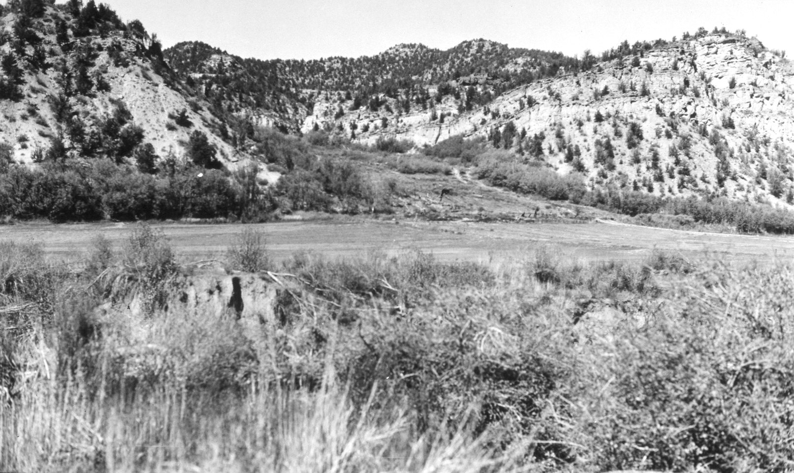
Calf Pasture Hollow
1954
2004
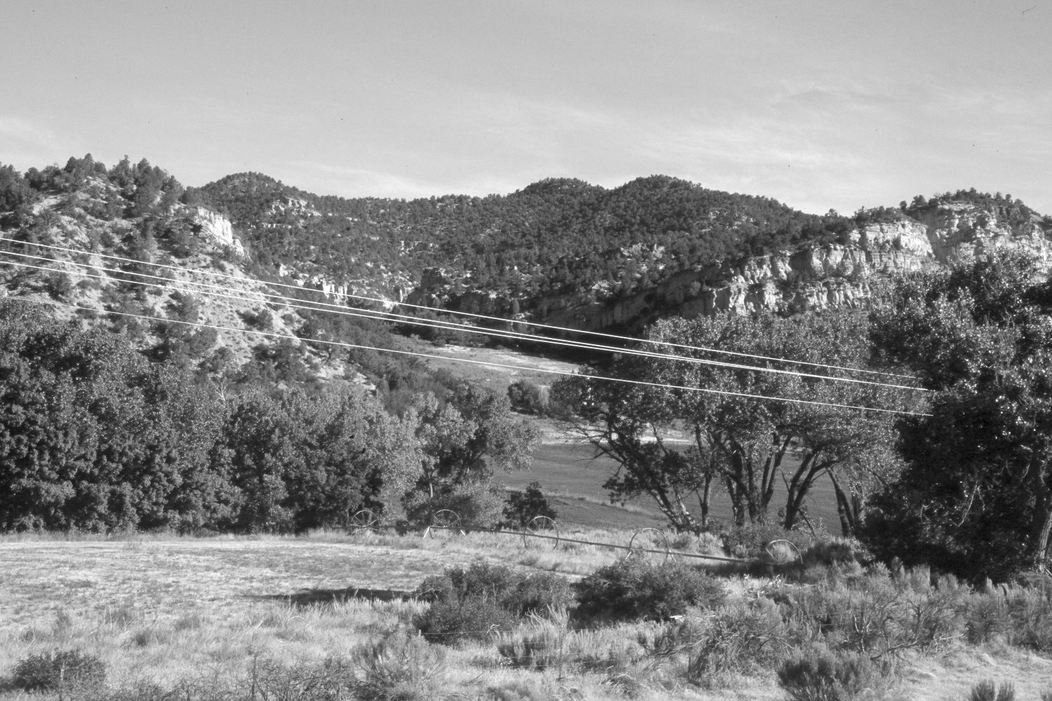
Description:
Plate 537X. Calf Pasture Hollow 1954 – 2004 Viewed northwest up Calf Pasture Hollow to the location of the old Orderville CCC camp - - see Plate 536x. The original photograph was taken from the bank of the East Fork of the Virgin River, which flows from right to left. That view, however, is now blocked by a dense growth of woody riparian vegetation, primarily cottonwoods and box elder, so the retake was made from U.S. Highway 89. Thus, the perspective in the two images is somewhat different. In addition to cottonwoods and box elder, pinyon and juniper have increased, while oakbrush has thickened. This private pastureland is grazed yearly by cattle.
Photo Information:
U.S. Forest Service photograph taken by W. Bentley on October 12, 1954; retake by Charles E. Kay on July 1, 2004 - - Photo No. 5356-28. Original photograph held by Southern Utah University Archives and Special Collections, Cedar City, UT.
Vegetative Community:
Riparian, Pinyon, Juniper, Oakbrush
Location:
South West: Section 34, Range 7 West, Township 40 South; UTM 356300 E, 4127500 N; elevation 5,550 ft.