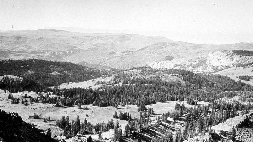
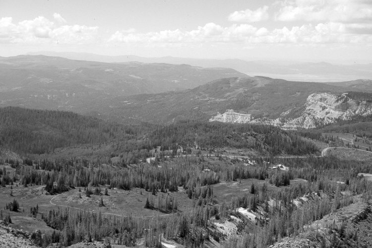
Brian Head
1937
2005
Description:
Plate 1129X. Brian Head 1937 – 2005 Viewed southwest down Ashdown Canyon from Brian Head. Many of the mature spruce were recently killed by insects and disease. Utah Highway 143 is visible in the retake as are buildings associated with the Brian Head ski development. In the distance, aspen has declined, while conifers have increased. Pinyon, juniper, and oakbrush have also increased.
Photo Information:
Original photograph taken by J.C. Anderson (No. 36) in 1937; retake by Charles E. Kay on September 4, 2005 - - Photo No. 5558-13. Original photograph held by the U.S. Geological Survey Photographic Library, Denver, CO.
Vegetative Community:
Aspen, Conifer, Pinyon, Juniper, Oakbrush
Location:
South West: Section 12, Range 9 West, Township 36 South; UTM 338700 E, 4171900 N; elevation 11,300 ft.