Boulder Top
1952
2003
Description:
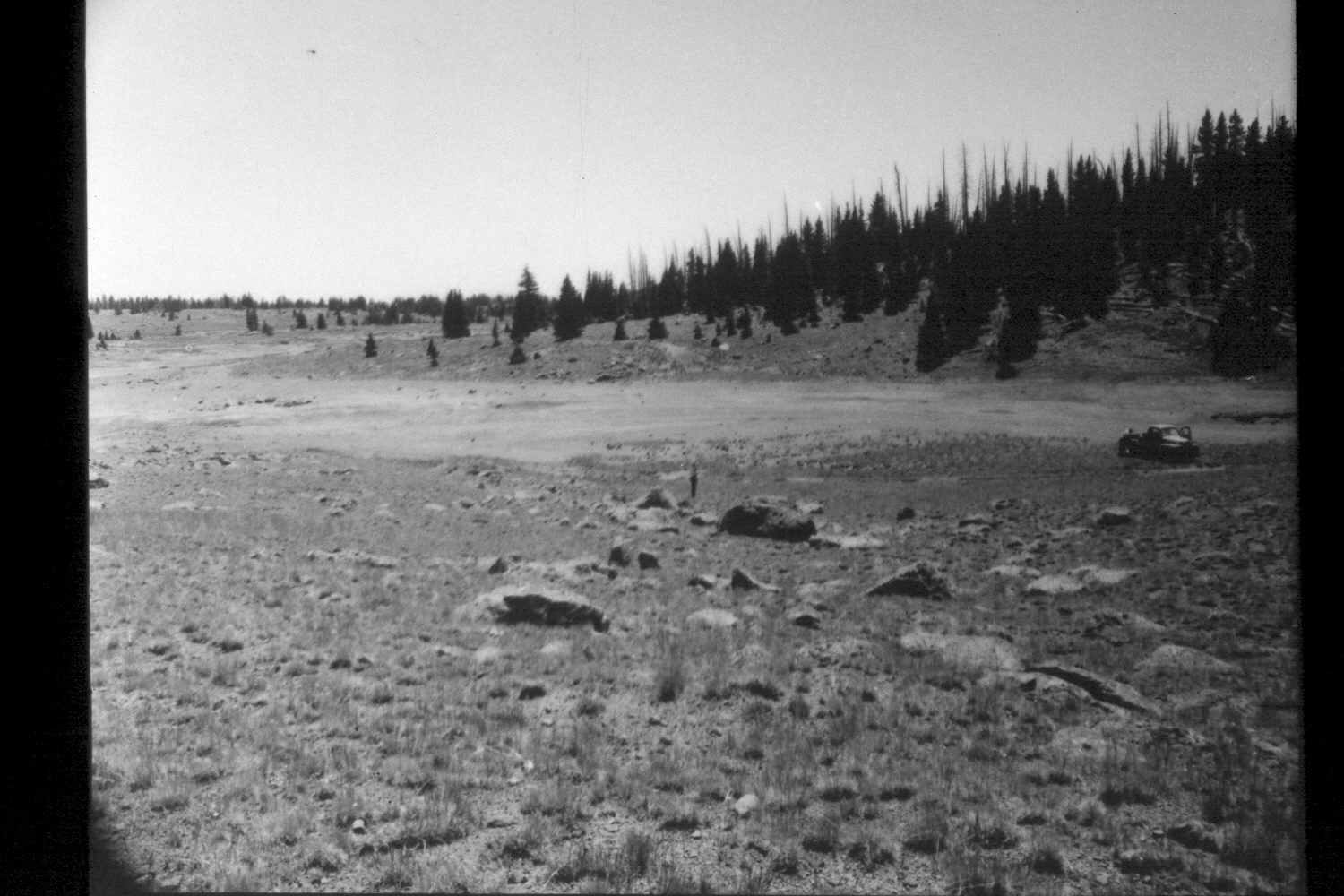
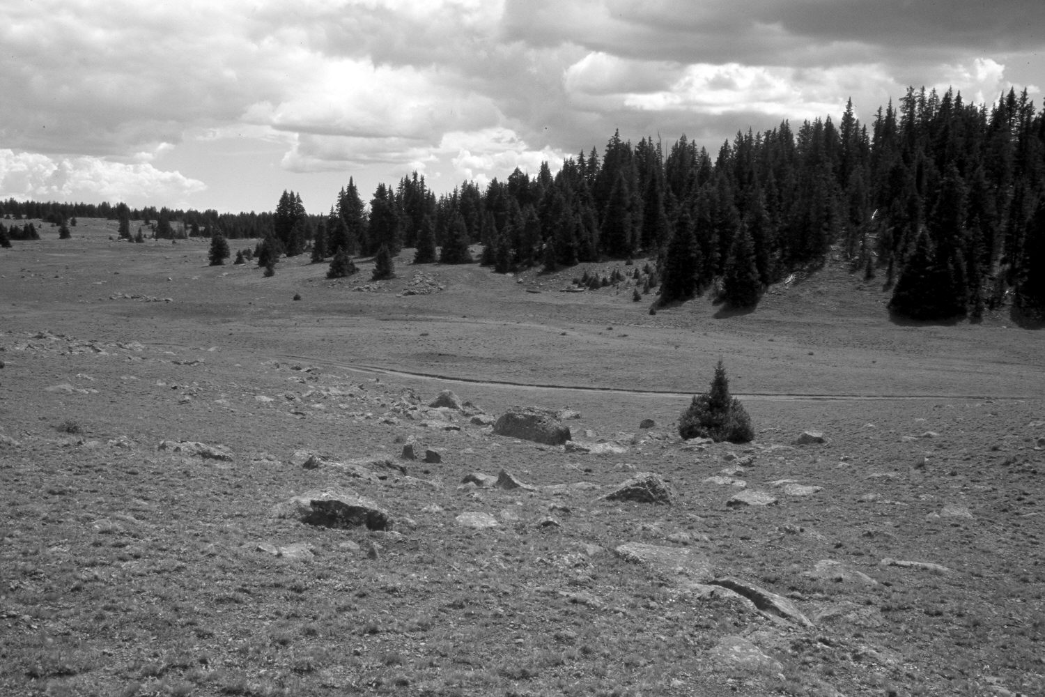
Plate 349X. Boulder Top 1952 - 2003 Viewed southeast on Boulder Top about one-half mile west of Four Lakes. Plate 349x is part of an old Parker 3-step range transect that was established in 1952. Spruce has increased on the far hillside. The area was actively being grazed by cattle, domestic sheep, and elk in 2003. The area appeared more heavily grazed in 2003 than it did in 1952, though, that may be due in part to the drought, which has gripped southern Utah for several years. Ground cover, though, appears to have increased. Plates 348x, 349x, and 350x were made within 200 feet of each other, but viewed in different directions.
Photo Information:
U.S. Forest Service photographs (unnumbered) taken on July 22, 1952; retake by Charles E. Kay on August 26, 2003 - - Photo No. 5257-24. Original photograph held in the range files on the Teasdale Ranger District, Dixie National Forest, Teasdale, UT.
Vegetative Community:
Conifer, Dry Meadow
Location:
South West: Section 36, Range 3 East, Township 31 South; UTM 454200 E, 4214000 N; elevation 10,880 ft.