Blue Spring Valley
1944
2005
Description:
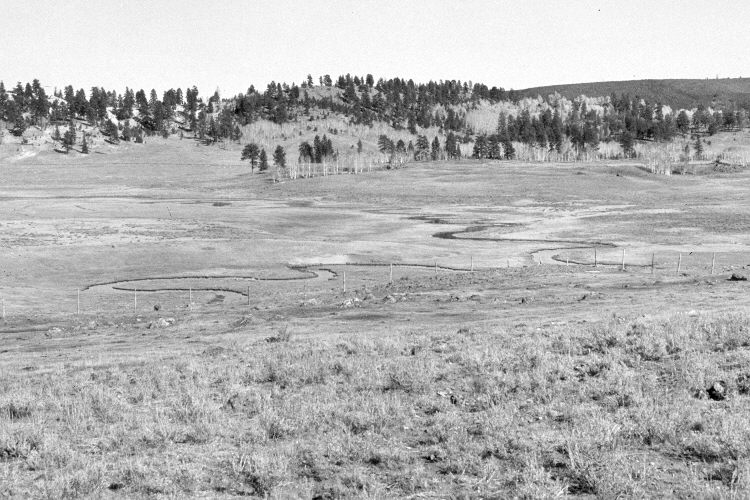
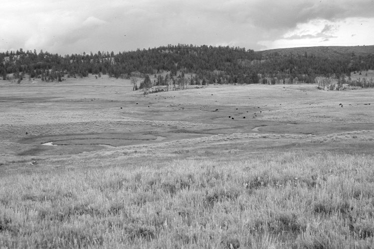
Plate 1005X. Blue Spring Valley 1944 – 2005 Viewed east across Blue Spring Valley. Plates 1003x to 1006x form a panorama from southeast to northeast. Conifers have increased in the distance, while aspen has declined. Some aspen clones, though, regenerated 30 years ago when deer numbers were low, but not before or since due to repeated ungulate herbivory (Kay and Bartos 2000). Note the lava and Utah Highway 143 in the distance.
Photo Information:
Original photograph taken by H.E. Gregory (No. 1253b) in 1944; retake by Charles E. Kay on August 1, 2005 - - Photo No. 5504-14. Original photograph held by the U.S. Geological Survey Photographic Library, Denver, CO.
Vegetative Community:
Conifer, Aspen, Dry Meadow, Sagebrush
Location:
South West: Section 18, Range 7 West, Township 36 South; UTM 352300 E, 4171800 N; elevation 8,480 ft.