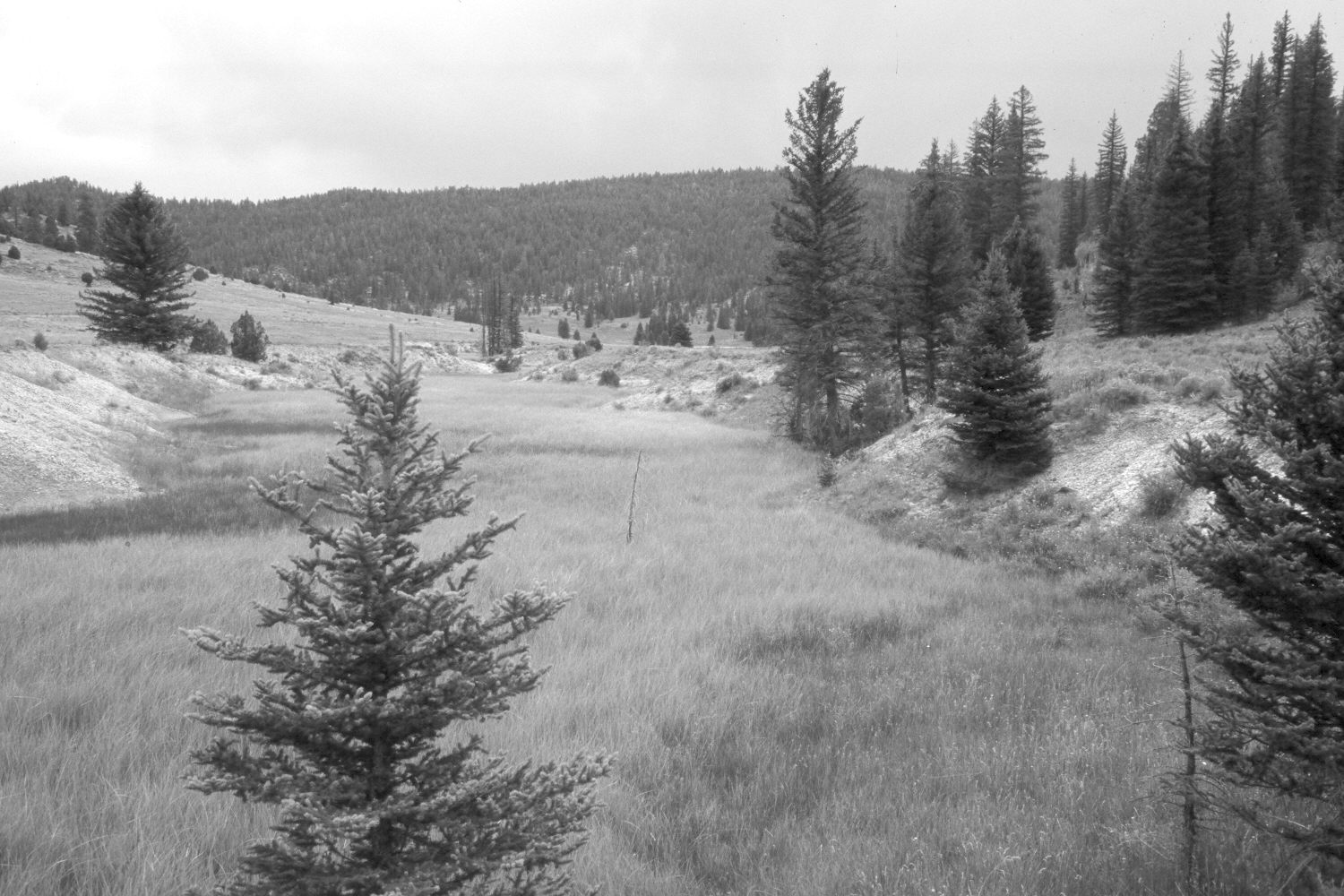
Blubber Creek
1950
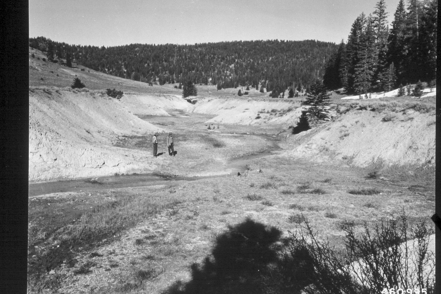
2003
Description:
Plate 285X. Blubber Creek 1950 - 2003 Viewed east down Blubber Creek on the Paunsaugunt Plateau. The stream bottom is more heavily vegetated with native sedges and rushes today than it was in the past. The cutbanks also support more plant cover now than in earlier times. The larger trees to the right, as well as those on the more distant hillside, have been logged. Nevertheless, spruce, ponderosa pine and juniper have all increased. The low shrubs are mostly shrubby cinquefoil, rubber rabbitbrush, and currants, while mountain big sage is common on the drier sites. The area had not been grazed by cattle in 2003 when this camera station was revisited. The hillside to the left of the stream was contour-trenched and reseeded by the Forest Service to control erosion and improve range conditions. This photopoint is below the headwall erosion structure seen in Plate 270x and above the sediment retention pond near the mouth of Blubber Creek.
Photo Information:
U.S. Forest Service photograph (460995) taken on April 24, 1950; retake by Charles E. Kay on August 7, 2003 - - Photo No. 5225-18. Original photograph held by the Utah Historical Society, Reed W. Bailey Collection (Box 11), Salt Lake City, UT.
Vegetative Community:
Riparian, Conifer, Juniper, Sagebrush
Location:
South West: Section 36, Range 4½ West, Township 37 South; UTM 386500E, 4156450 N; elevation 7,950 ft.