Awapa Plateau
1961
2003
Description:
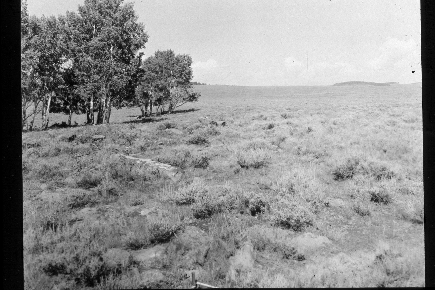
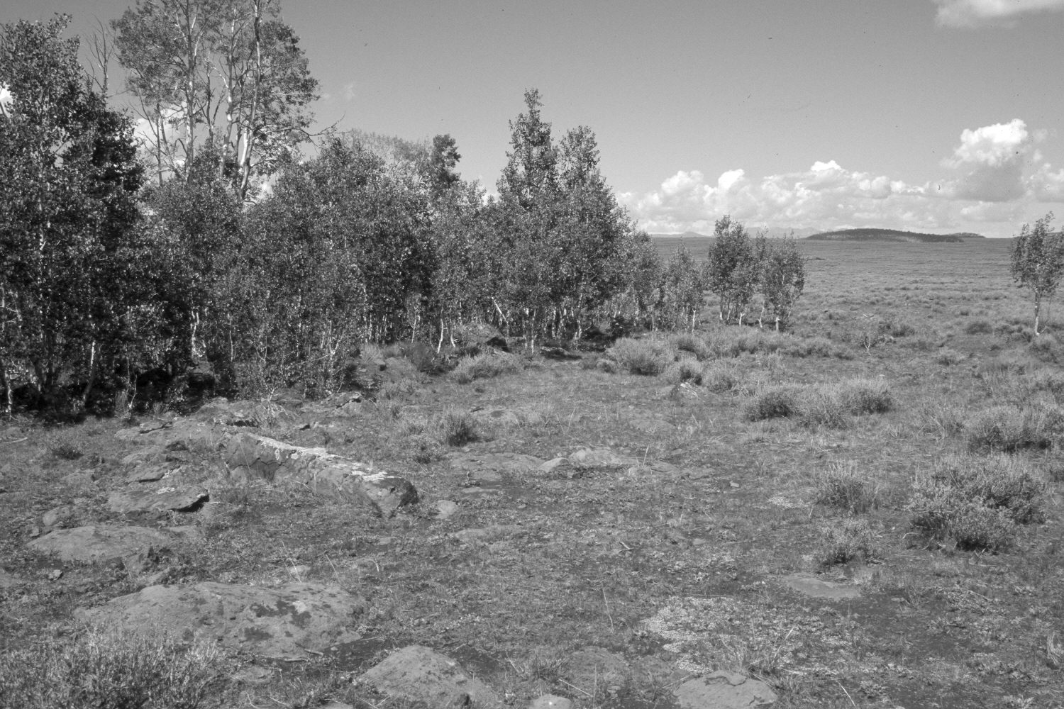
Plate 318X. Awapa Plateau 1961 - 2003 Viewed west on the Awapa Plateau near Pollywog Lake. Tanner Knoll is in the distance, while the Tusher Mountains are on the skyline. The photopoint is at the corner of Sections 20, 21, 28, and 29. Aspen has regenerated and the clone has expanded in size. Most aspen regeneration occurred 30 years ago when mule deer numbers were low (Kay and Bartos 2000). Silver sage has declined. Mountain big sage is present on the mima mounds beyond the aspen. The area was heavily grazed by cattle in 2003 and also used by mule deer, elk, and pronghorn antelope.
Photo Information:
U.S. Forest Service photograph (unnumbered) taken by R.F. Sanders on August 17, 1961; retake by Charles E. Kay on August 24, 2003 - - Photo No. 5240-24. Original photograph held in the range files on the Teasdale Ranger District, Dixie National Forest, Teasdale, UT.
Vegetative Community:
Aspen, Sagebrush
Location:
South West: Section 21, Range 1 East, Township 31 South; UTM 429600 E, 4215800 N; elevation 9,390 ft.